US 93 Polson-Somers Corridor Study

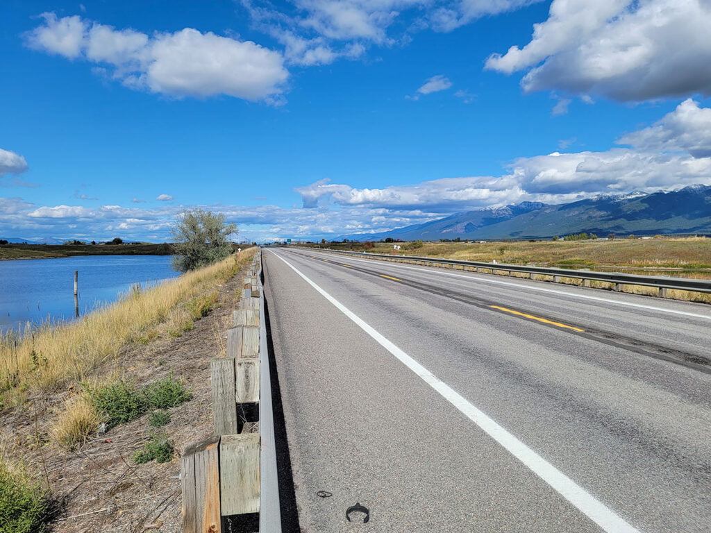
US 93 is a major route providing regional connections between urban centers, recreation areas, and small, rural communities. The highway corridor is constrained by topography adjacent to Flathead Lake, and the area holds deep cultural, historical, and ecological significance for the Confederated Salish and Kootenai Tribes. Recent growth in the area has contributed to increasing commuter, tourist, recreation, and commercial truck traffic along US 93, raising concerns about the safety and capacity of the road infrastructure to meet growing demand. The study identifies transportation improvements that will support continued growth while preserving the area’s unique ecological, cultural, and economic resources, providing a framework ensuring US 93 remains a functional and safe route for years to come.

Key Project Elements

Project Description

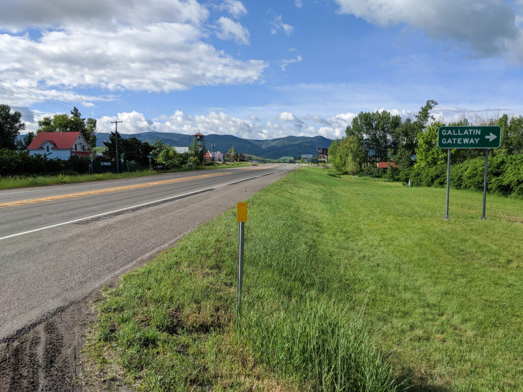
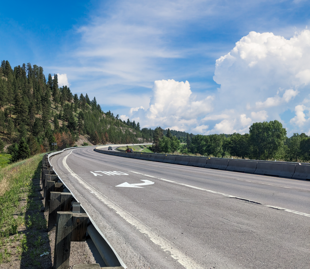
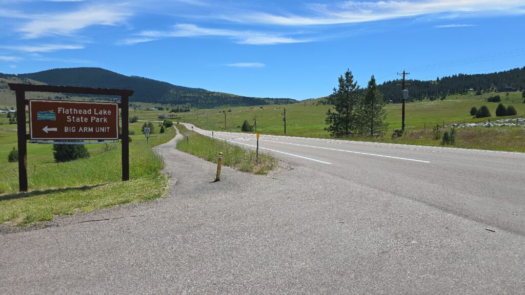
The Montana Department of Transportation (MDT) contracted RPA to develop a long-range plan for managing the US 93 corridor between Polson and Somers, following the western edge of Flathead Lake, passing through Lake County and Flathead County, and crossing the Flathead Reservation. The corridor is a vital route in the National Highway System (NHS), linking Missoula and Kalispell, while also serving as a popular scenic route and access point for recreational activities. Local communities face challenges in balancing infrastructure needs with environmental and cultural preservation while addressing growing commuter, tourist, and commercial traffic.

The study involved collaboration with the Federal Highway Administration (FHWA), Confederated Salish and Kootenai Tribes (CSKT), local jurisdictions, stakeholders, and the public. As a supplemental component, RPA also developed an Access Management Plan to help enhance roadway safety, functionality, and compatibility with future development.

The study followed MDT’s planning guidelines by evaluating existing conditions, projected growth, traffic operations, safety, and environmental impacts. It identified short- and long-term recommendations to address the corridor’s needs through 2045, ensuring informed funding decisions for future project development.

Spot improvements focused on enhancing safety, traffic flow, and access management at key locations with measures such as enhanced traffic control, improved visibility, and multimodal accommodations. Corridor-wide improvements emphasized enhancing traffic operations and safety across the entire US 93 corridor, including striping revisions, rumble strips, speed limit adjustments, shoulder widening, passing lanes, and wildlife conflict mitigation. Policy improvements aimed to enhance safety and operations through access management, speed limit adjustments, travel demand management, and maintenance practices, with implementation depending on available resources and coordination. And lastly, access management recommendations such as removing, relocating, and consolidating accesses, defining approach openings, and limiting approach usage, were identified to guide public agencies, landowners, and developers in land use and access planning when development, redevelopment, or construction projects occur. Implementation of future improvements in the corridor will depend on funding availability, coordination with adjacent landowners and partner agencies, and environmental mitigation activities.

Project Details​

Client

Montana Department of Transportation

Location

Lake and Flathead Counties, Montana

US 191 Corridor Study – Four Corners to Big Sky

RPA partnered with the Montana Department of Transportation (MDT), Federal Highway Administration (FHWA), and Gallatin County to evaluate the US 191 corridor between Four Corners and the Big Sky area, a critical route connecting the Bozeman region to West Yellowstone and Yellowstone National Park. The corridor serves a mix of commuter, recreational, and freight traffic and has experienced significant growth, resulting in increased congestion, longer travel times, and safety concerns.

Key Project Elements

Project Description

RPA conducted a comprehensive evaluation of existing and future conditions along the US 191 corridor, including travel time data, traffic volumes, and vehicle classification to assess congestion and operational performance. Roadway geometrics, crash history, and wildlife-vehicle conflict data were analyzed to identify safety trends, contributing factors, and locations with substandard conditions.

The corridor’s location within the Gallatin Canyon also presents significant environmental and physical constraints, limiting large-scale improvements and requiring careful consideration of impacts to the Gallatin River corridor and surrounding habitats.

Safety and mobility improvements were developed based on these findings, including intersection enhancements, turn lanes, shoulder widening, updated traffic control, and wildlife accommodations. The study also considered multimodal opportunities such as transit enhancements and shared-use facilities to reduce single-occupant vehicle demand without requiring major capacity upgrades.

Extensive public and stakeholder engagement was conducted to address the high level of interest in the corridor. Outreach included both in-person and virtual efforts, allowing the project team to gather input from a broad range of users and stakeholders.

The study identified a range of improvement options from low-cost operational enhancements to long-term corridor strategies, providing MDT with a flexible framework to guide future investments. The resulting plan supports improved safety, mobility, and system performance while balancing environmental constraints and community priorities.

Project Details​

Client

Montana Department of Transportation

Location

Gallatin County, Montana

US 93 Missoula-Florence Feasibility Study

The US 93 study corridor from Florence to Missoula is used by commuters, residents, and regional travelers, and commercial freight haulers, with access to adjacent residences, businesses, and agricultural lands. Traffic volumes have outpaced projections as the area has continued to develop. This pressure has contributed to congestion, reduced travel times, increased user conflicts, and ongoing safety concerns, especially at uncontrolled intersections within the corridor and during peak travel times. The intent of the US 93 Missoula-Florence Study is to evaluate safety and operational conditions within the corridor and identify comprehensive, data-driven, and forward-looking solutions to address concerns over the long term given environmental resources, right-of-way needs, access control, maintenance considerations, and other potential constraints. 

Key Project Elements

Project Description

The US 93 corridor between Missoula and Florence serves as a vital access route for adjacent residences, businesses, agricultural lands, and commuters traveling between smaller Bitterroot Valley communities and the City of Missoula, while also accommodating significant commercial freight traffic. This growth has resulted in safety concerns, user conflicts, increased traffic congestion, and longer travel times.

The study conducted wide-ranging analyses of the physical roadway, safety, traffic operations, and environmental features to establish baseline conditions for the corridor. This step was important to understand key issues, needs, and constraints influencing future improvements.

To address these issues, the study identified and evaluated a range of potential options to improve safety and traffic flow on US 93 while enabling feasible implementation and minimizing impacts to adjacent landowners, the environment, and the traveling public. This effort attempted to best address the primary areas of concern identified through public and stakeholder outreach, discussions with the MDT study team, review of past and current planning documents, and technical analysis of physical features, traffic, safety, and environmental conditions while also meeting the purpose and need of the highway. A sequential approach was used to identify, screen, and select the preferred corridor configuration with continuous public feedback integrated into the process.

An optimized corridor configuration was identified, integrating the most practical and effective elements from corridor concepts and intersection control alternatives. This process involved strategically blending design alternatives that were found to best meet the study’s goals and objectives. The aim was to develop a comprehensive and feasible recommendation for the corridor that balances the overwhelming need for improved safety with efficient highway operations, while minimizing implementation costs, construction timeframes, and impacts.

Project Details​

Client

Montana Department of Transportation

Location

Missoula and Ravalli Counties, Montana

US 93 Ninepipe Corridor Feasibility Study

RPA collaborated with a number of state and federal entities to create a feasibility assessment for a challenging stretch of US Highway 93 between RP 40.0 and 44.5. The study assessed geotechnical limitations, hydraulic considerations, wetland impacts, cultural influences, and right-of-way requirements to assess improvement possibilities in terms of impacts, construction costs, and feasibility. The study’s findings will be utilized to inform project development decisions and future environmental re-evaluations.

Key Project Elements

Project Description

US Highway 93 (US 93) is an important highway corridor and supports local, regional, and nationwide transportation. The Ninepipe segment extends from Reference Post (RP) 40.0 to 44.5 south of Ronan, MT in Mission Valley. The corridor is situated in a highly sensitive ecological and cultural environment through federal and tribal lands designated for wildlife management, environmental protection, and cultural preservation. Improvements to the corridor are needed to address poor existing traffic operations, projected increases in traffic volumes, multiple safety concerns, and a lack of dedicated pedestrian and bicycle facilities.

Building from an alternative identified in previous environmental documentation, RPA worked collaboratively with the Montana Department of Transportation (MDT), the Confederated Salish and Kootenai Tribes (CSKT), and multiple environmental resource agencies to identify a feasible reconstruction concept that would optimize benefits and reduce impacts. The study evaluated geotechnical constraints, hydraulic considerations, wetland impacts, cultural influences, and right-of-way needs to evaluate improvement options in terms of impacts, construction costs, and feasibility considerations. Findings from this study will be used to assist MDT in project development decisions and will support a future environmental re-evaluation.

Project Details​

Client

Montana Department of Transportation

Location

Montana