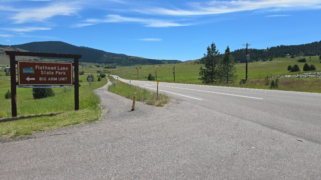
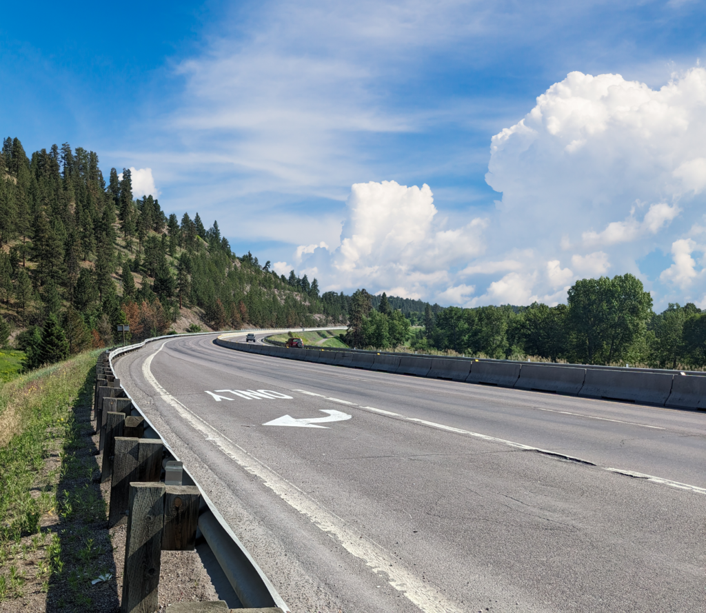
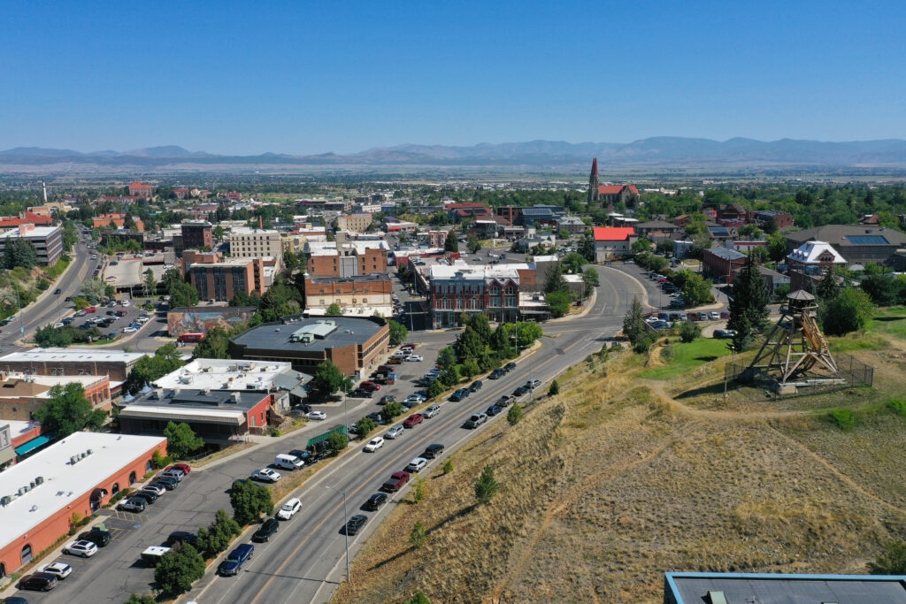
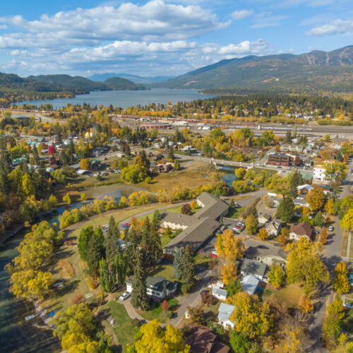
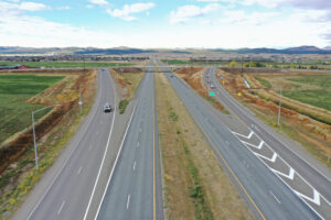
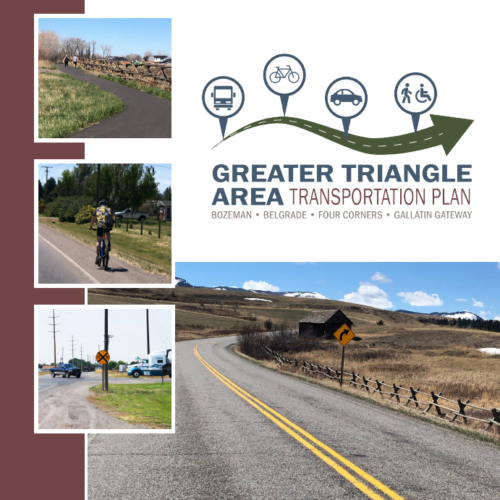
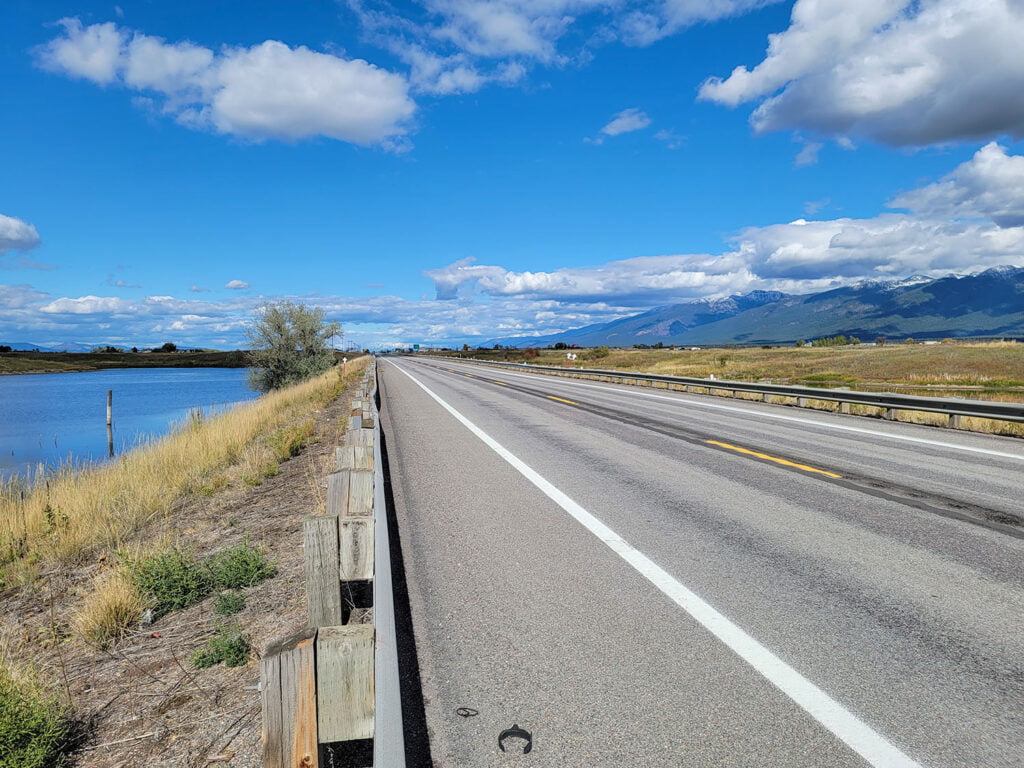
The Montana Department of Transportation (MDT) contracted RPA to develop a long-range plan for managing the US 93 corridor between Polson and Somers, following the western edge of Flathead Lake, passing through Lake County and Flathead County, and crossing the Flathead Reservation. The corridor is a vital route in the National Highway System (NHS), linking Missoula and Kalispell, while also serving as a popular scenic route and access point for recreational activities. Local communities face challenges in balancing infrastructure needs with environmental and cultural preservation while addressing growing commuter, tourist, and commercial traffic.
The study involved collaboration with the Federal Highway Administration (FHWA), Confederated Salish and Kootenai Tribes (CSKT), local jurisdictions, stakeholders, and the public. As a supplemental component, RPA also developed an Access Management Plan to help enhance roadway safety, functionality, and compatibility with future development.
The study followed MDT’s planning guidelines by evaluating existing conditions, projected growth, traffic operations, safety, and environmental impacts. It identified short- and long-term recommendations to address the corridor’s needs through 2045, ensuring informed funding decisions for future project development.
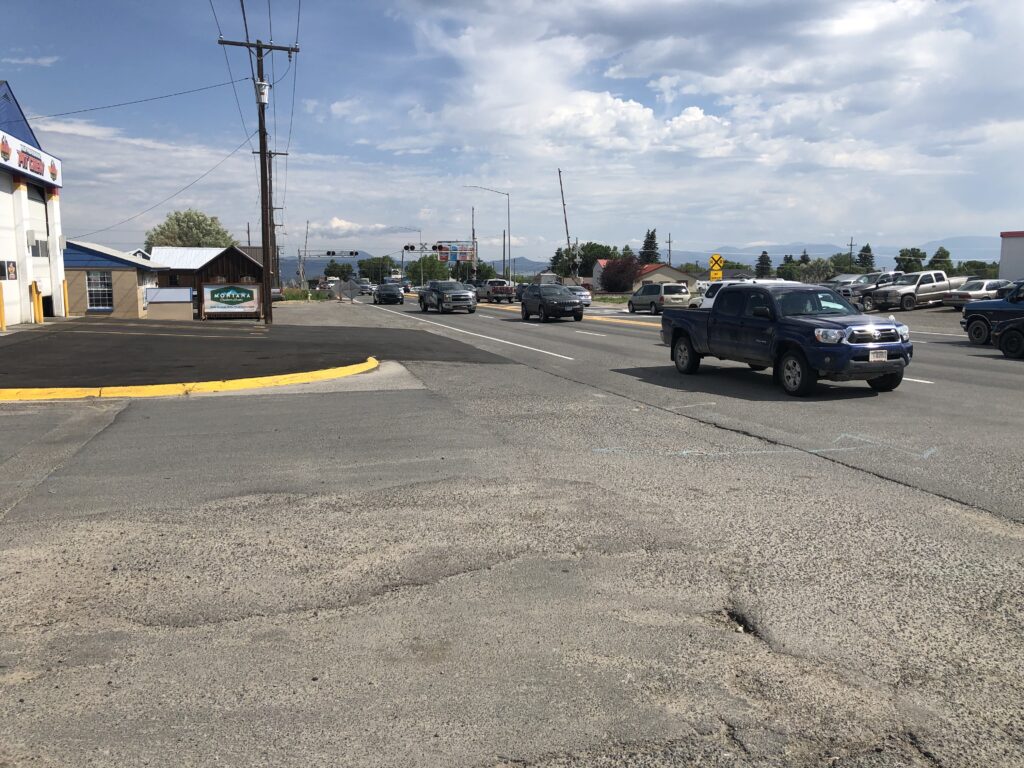
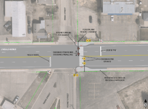
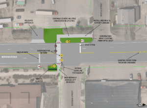
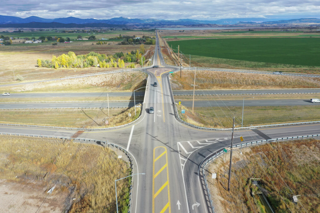
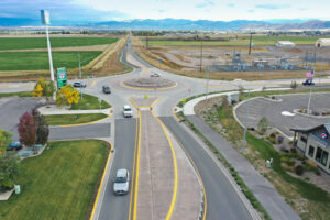
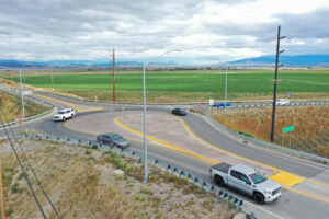
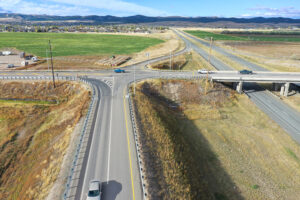
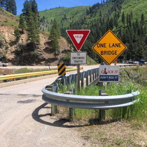
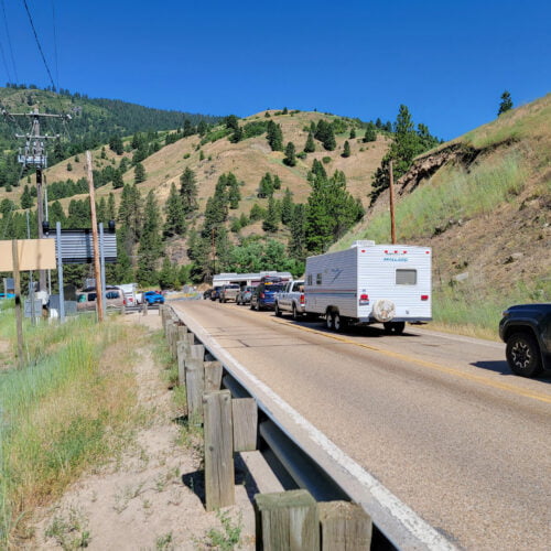
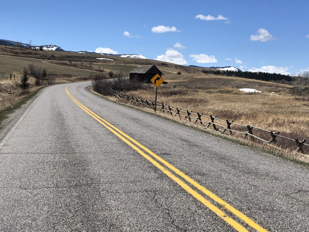
Spot improvements focused on enhancing safety, traffic flow, and access management at key locations with measures such as enhanced traffic control, improved visibility, and multimodal accommodations. Corridor-wide improvements emphasized enhancing traffic operations and safety across the entire US 93 corridor, including striping revisions, rumble strips, speed limit adjustments, shoulder widening, passing lanes, and wildlife conflict mitigation. Policy improvements aimed to enhance safety and operations through access management, speed limit adjustments, travel demand management, and maintenance practices, with implementation depending on available resources and coordination. And lastly, access management recommendations such as removing, relocating, and consolidating accesses, defining approach openings, and limiting approach usage, were identified to guide public agencies, landowners, and developers in land use and access planning when development, redevelopment, or construction projects occur. Implementation of future improvements in the corridor will depend on funding availability, coordination with adjacent landowners and partner agencies, and environmental mitigation activities.