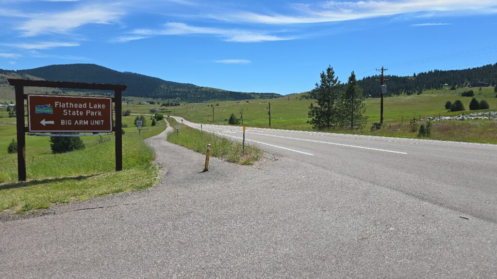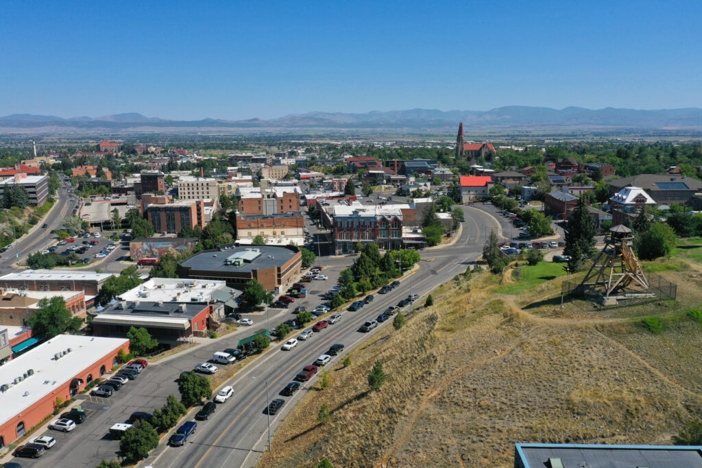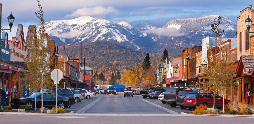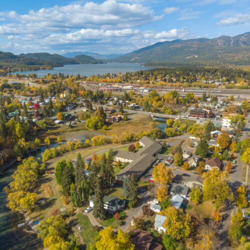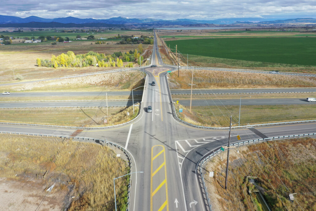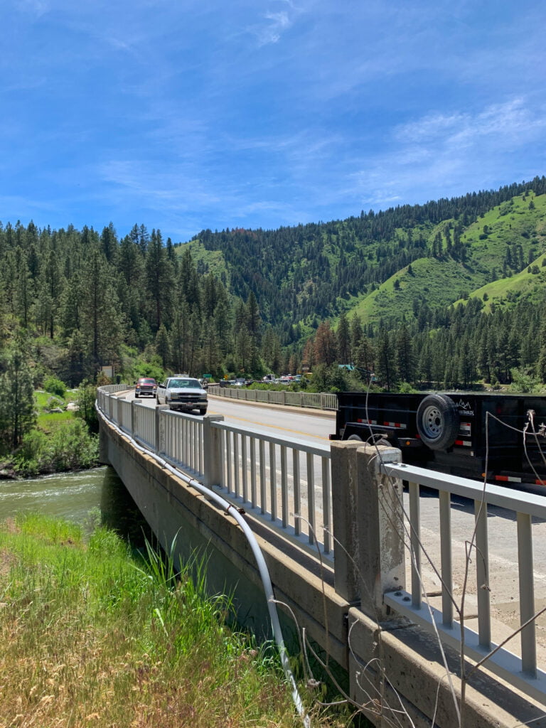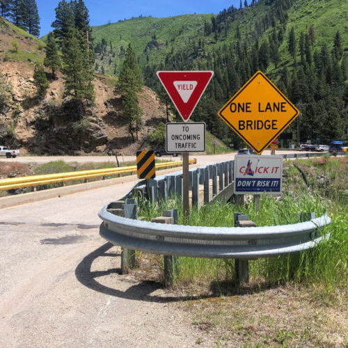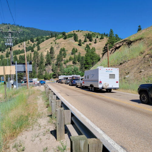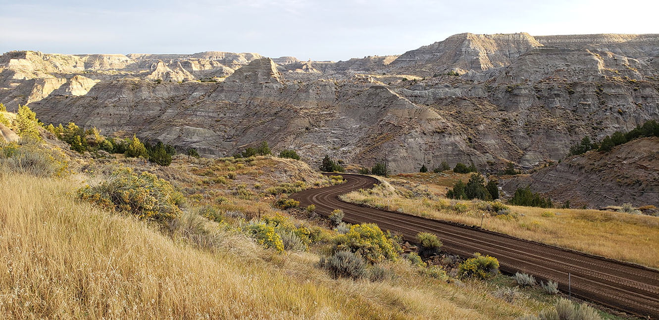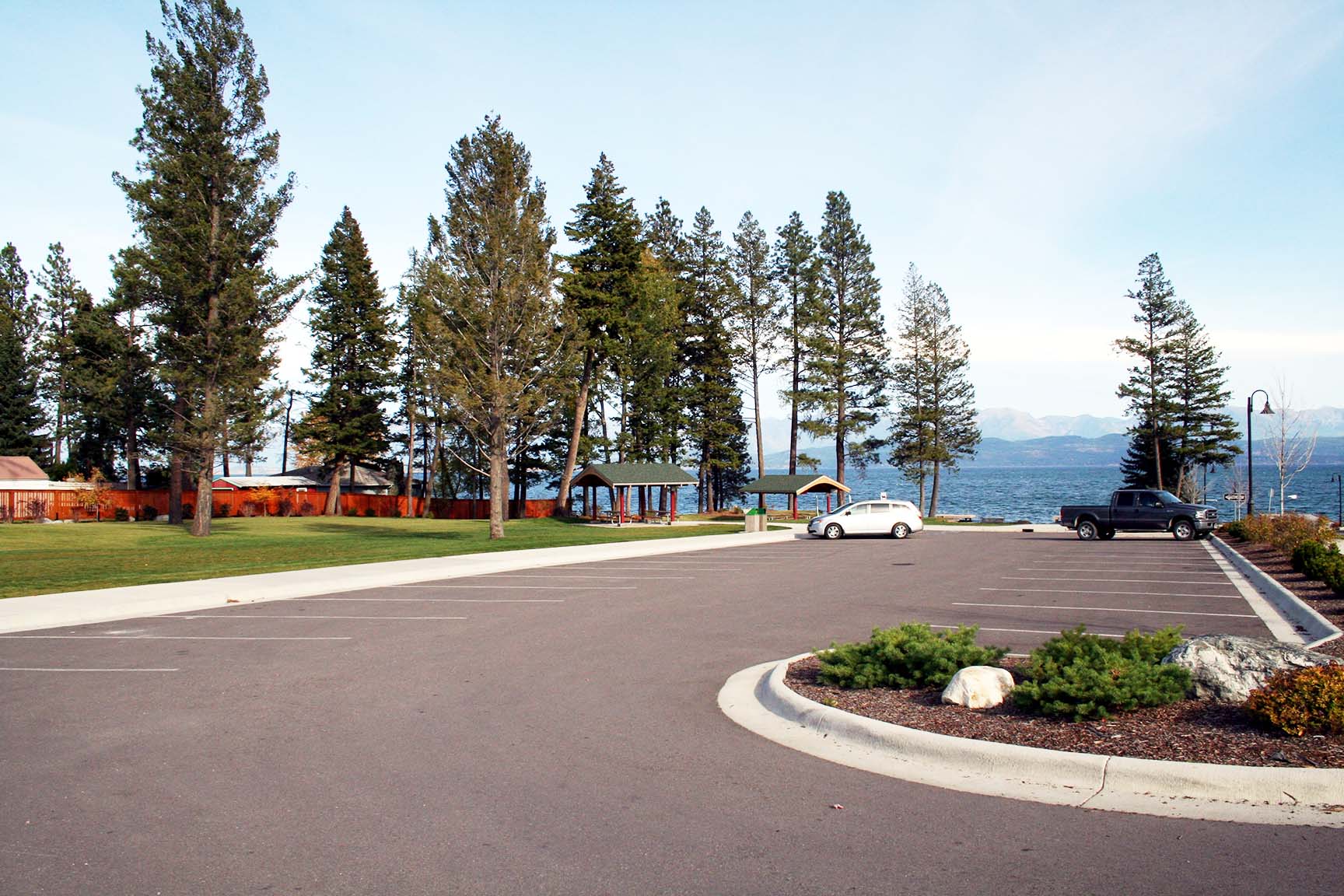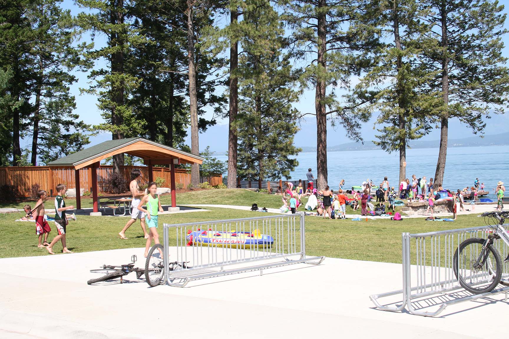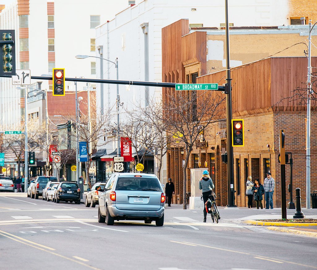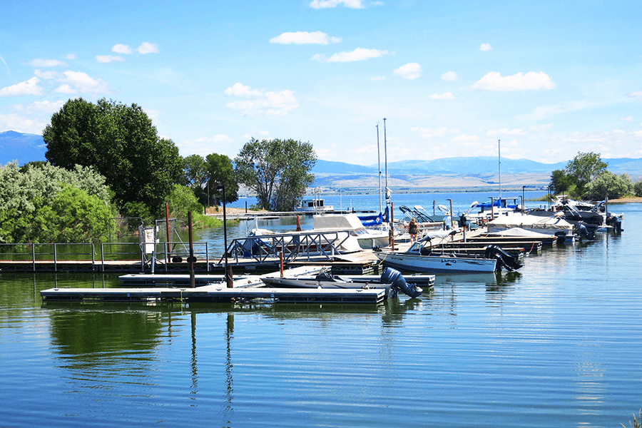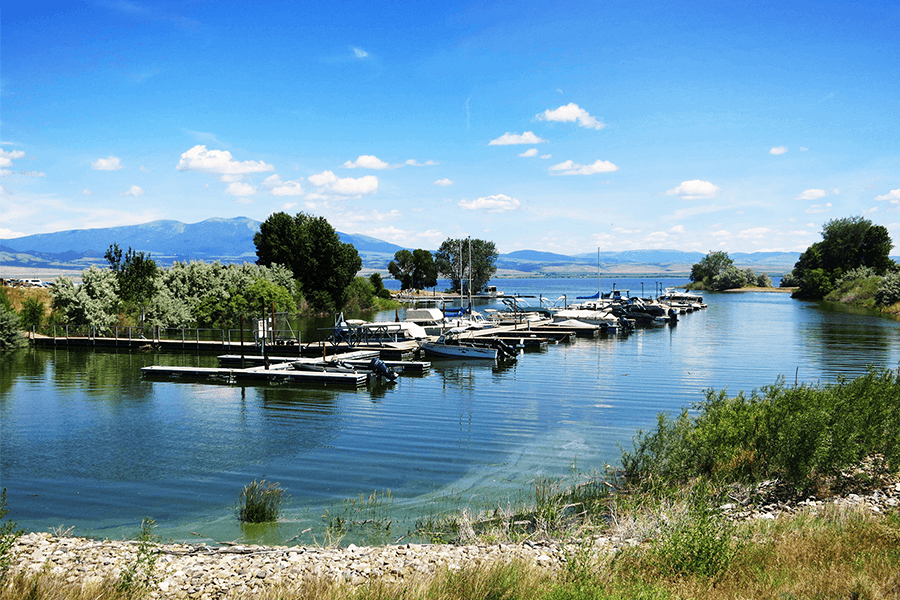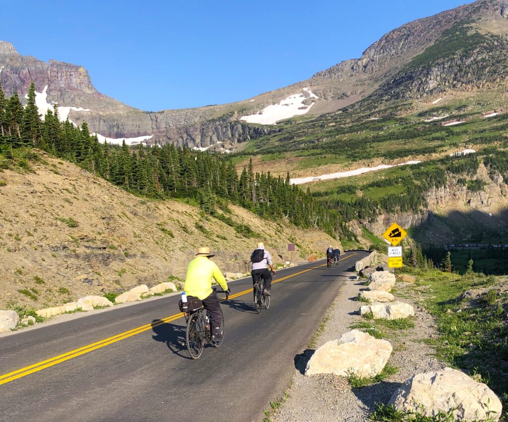
RPA assisted the Federal Highway Administration, in partnership with the Montana Department of Transportation, National Park Service, United States Forest Service, and Flathead County, in preparing the West Glacier Entrance / US 2 Planning Study. The study evaluated traffic conditions in the vicinity of West Glacier and the West Entrance of Glacier National Park to understand the factors influencing the length, timing, and location of visitor queuing and to identify potential improvements to relieve congestion issues and promote smoother travel in and out of the park. During peak summer visitation, queues can extend from the West Entrance through West Glacier and onto US 2, creating operational and safety concerns. The study assessed existing traffic and safety conditions while considering constructability challenges, financial feasibility, resource impacts, and the influence of other planning efforts and management decisions in the area.
Key Project Elements
- Traffic data collection and field observations
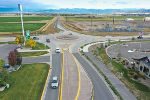
- Intersection and corridor operational analysis
- Traffic simulation and queue analysis
- Multimodal transportation evaluation
- Improvement options identification
- Concept development
- Policy and operational considerations
- Alternative and emergency access evaluation
Project Description
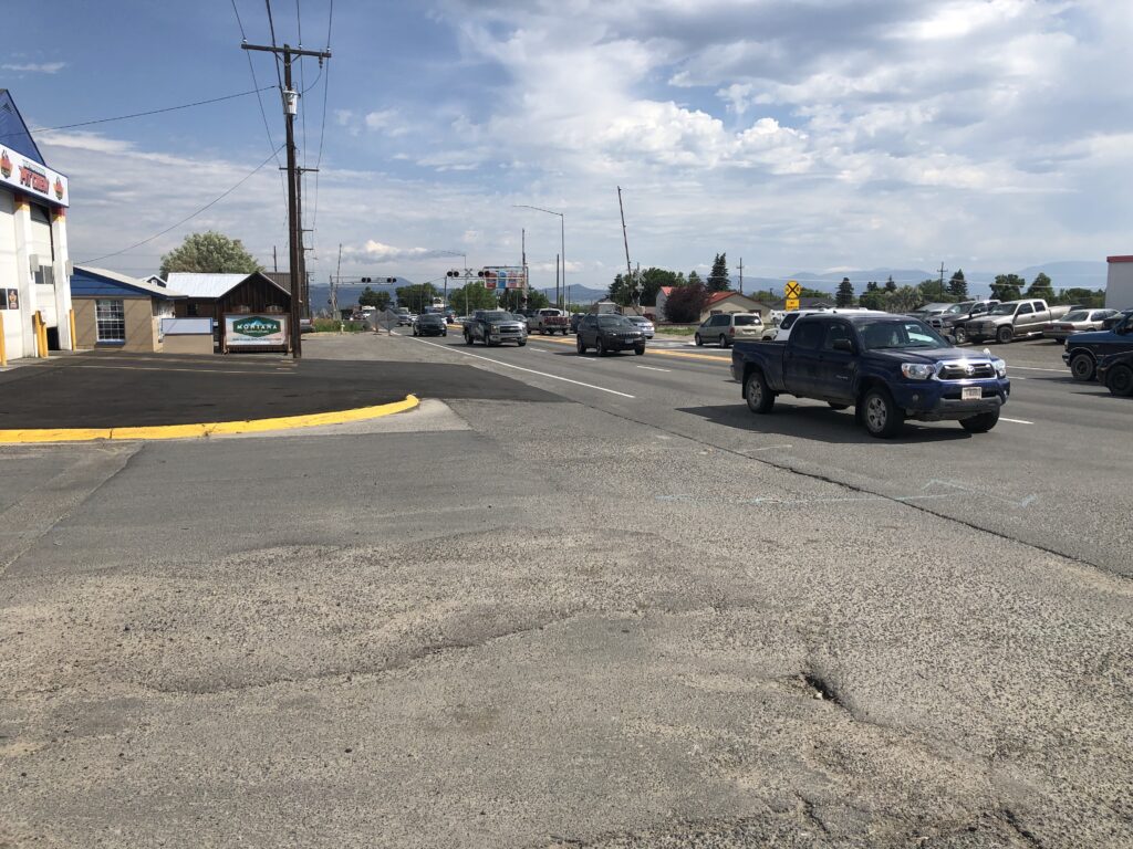
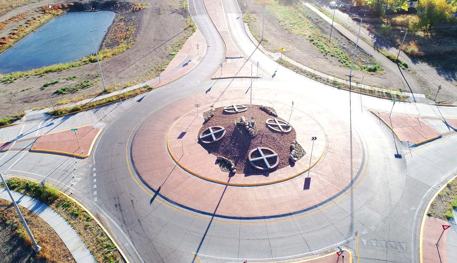
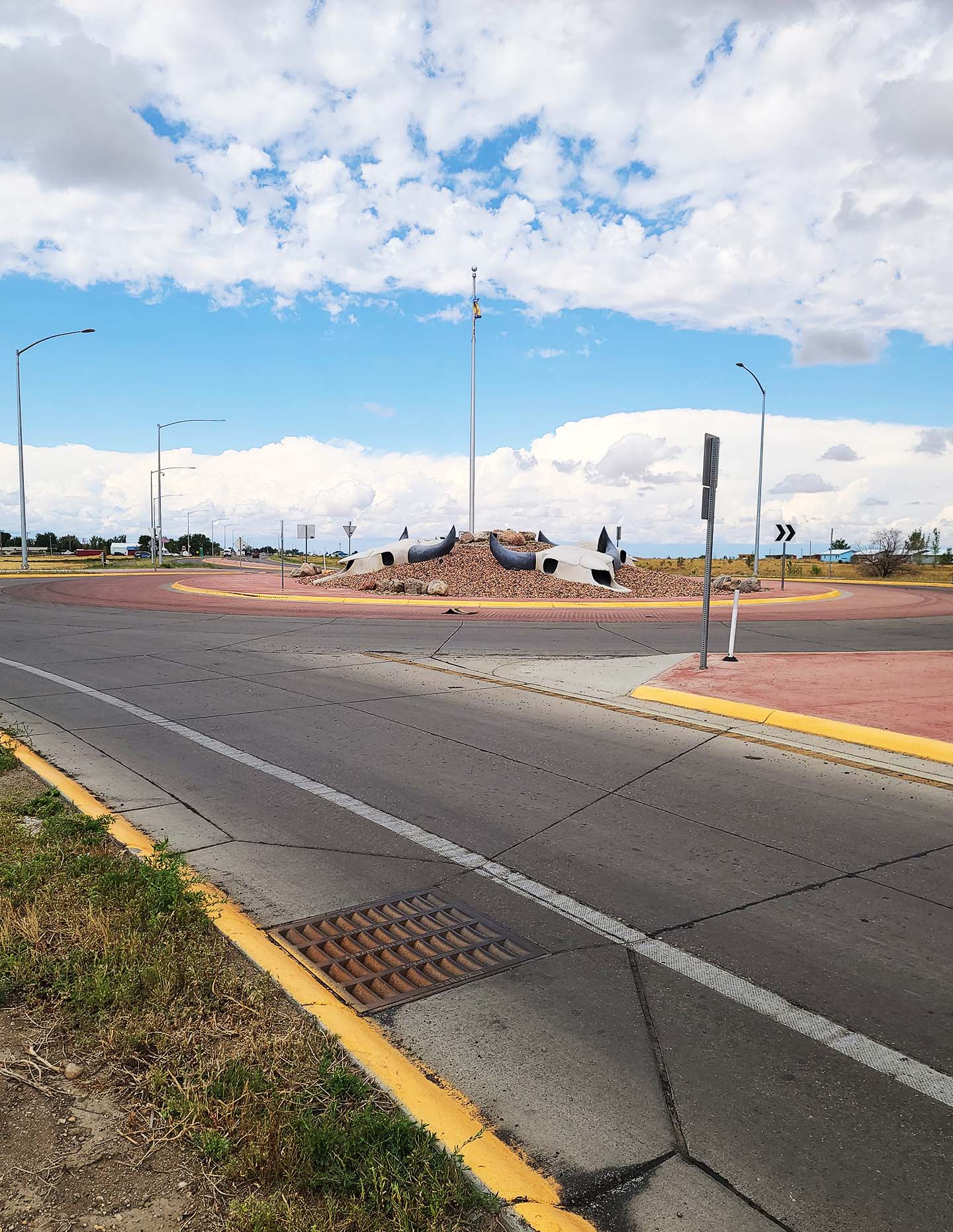
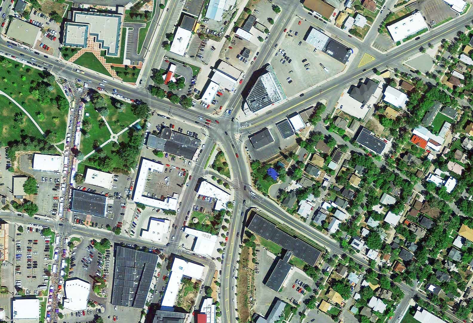
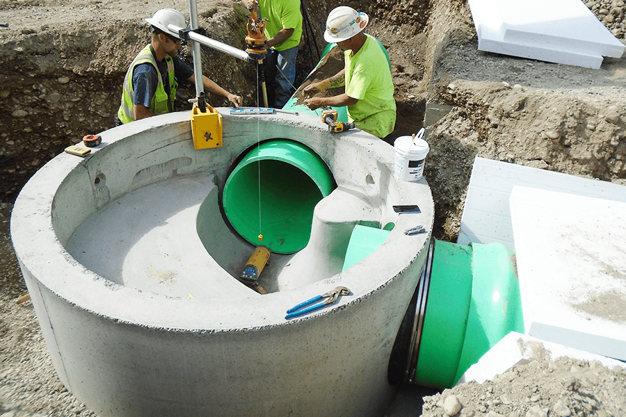
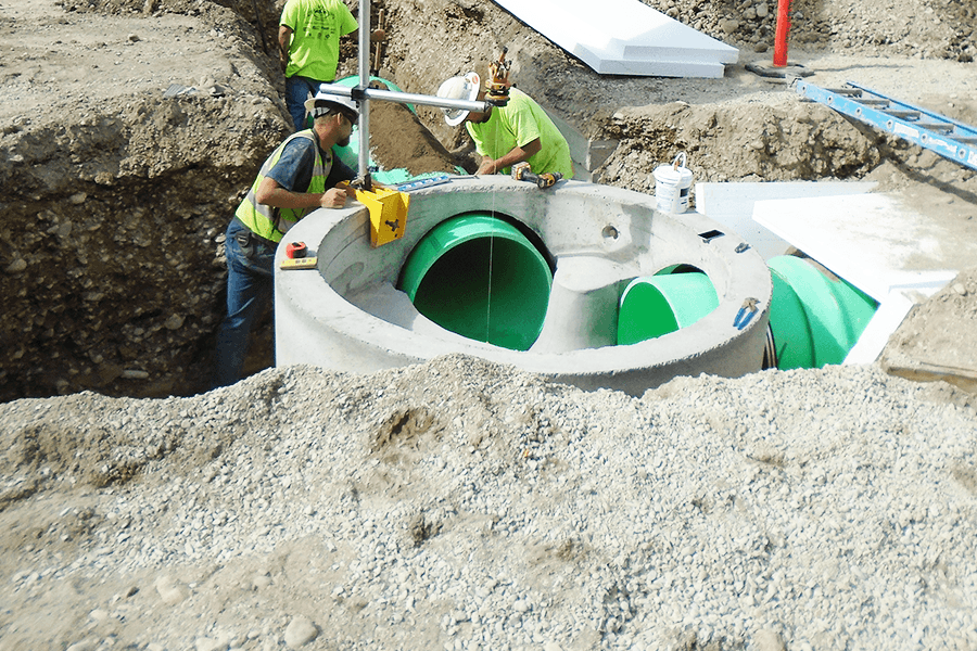
RPA conducted a comprehensive data collection and traffic analysis effort during the 2022 and 2023 summer seasons to understand existing conditions along Going-to-the-Sun Road (GTSR) through West Glacier. The work included vehicular and pedestrian traffic counts, travel time surveys, field observations, and development of a microsimulation model to evaluate operations through the study area.
The analysis found that congestion in West Glacier is heavily influenced by operations at the filter and entrance stations, with network effects extending to the GTSR / US 2 intersection during peak visitation periods. The study also identified two additional key issues: limited multimodal accommodations between West Glacier and the park entrance, and limited emergency or alternate access to West Glacier.
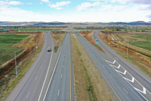
RPA evaluated traffic volumes, processing rates, queuing patterns, intersection operations, corridor operations, and travel time impacts to better understand how visitor demand and entrance station operations affect traffic flow. The study found that queuing in the West Glacier and entrance areas could add approximately 15 to 20 minutes of delay during peak periods, and that the majority of observed queuing was related to the operational efficiency of the filter and entrance stations.
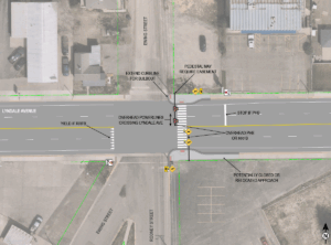
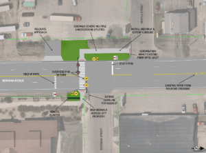
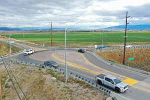
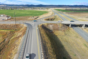
To address the identified issues, RPA developed eight improvement options in coordination with partner agencies. These included spot improvements at the US 2 intersection, multimodal improvements such as pedestrian and cyclist routes and park-and-ride facilities, and four entrance station concepts including expansion and potential relocation to reduce queuing and improve operations. The study also considered broader policy and management factors, including park capacity, vehicle reservation policies, and alternative or emergency access routes.
The resulting study provides partner agencies with a set of implementable strategies to improve traffic flow, reduce congestion, enhance safety, and support multimodal access in the West Glacier area while maintaining flexibility for future park management and transportation decisions.
Project Details
Client
Federal Highway Administration - Western Federal Lands (FHWA-WFL)
Location
Flathead County, Montana