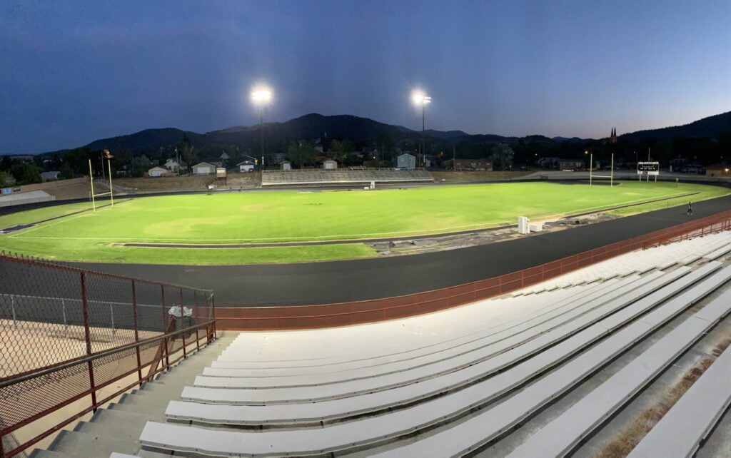
RPA assisted the City of Whitefish in completing a Safety Action Plan identifying the most significant transportation safety concerns in the community. The plan outlined implementation steps for projects and strategies to address those issues and ultimately reduce fatalities and serious injuries within the City limits.
Key Project Elements
- Federal regulatory compliance
- Public/stakeholder outreach
- Safety and demographics analyses
- Leadership commitment and goals development
- Strategy identification (non-motorist, intersection, inattentive driver, and speed related strategies)
- Project, policy, and program identification
- Project prioritization and implementation guidelines
Project Description
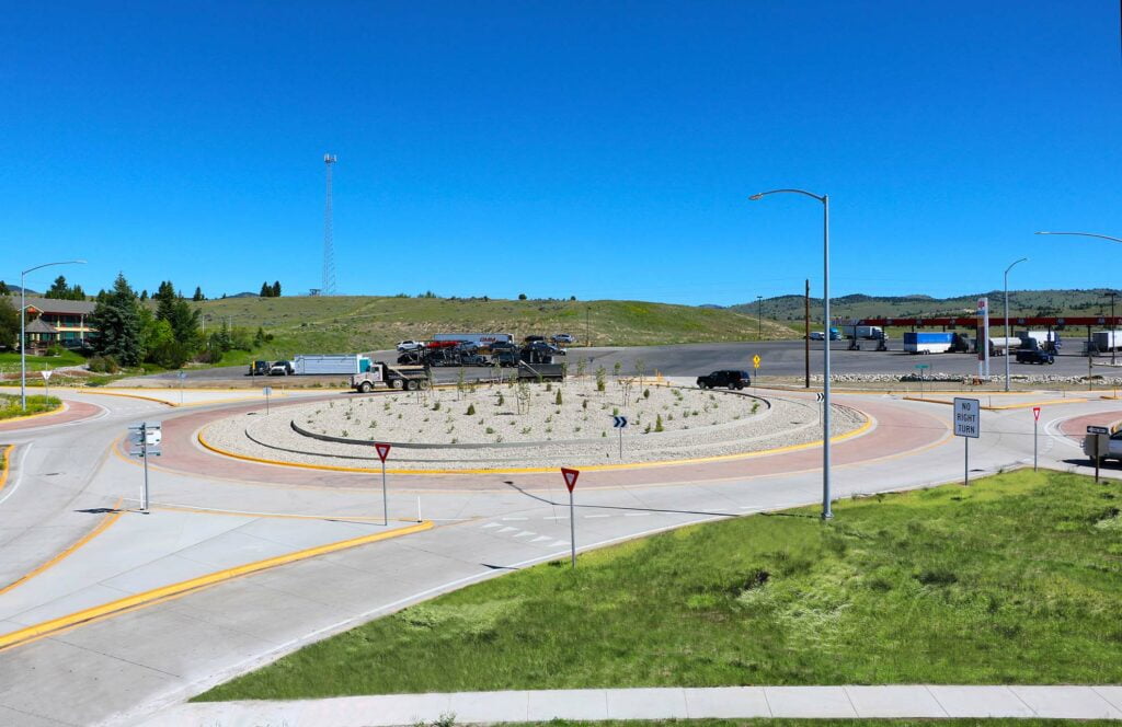
The City of Whitefish was awarded funds from the Safe Streets and Roads for All (SS4A) discretionary grant program to complete an Action Plan identifying the most significant transportation safety concerns in the community with implementation steps for projects and strategies to address those issues in addition to reducing fatalities and serious injuries within the City limits. RPA assisted the City in developing an Action Plan, which aims to address the safety needs of all users, though it places increased emphasis on non-motorist safety, in alignment with community priorities and values.
In support of the plan, RPA facilitated Task Force meetings, a walk audit, stakeholder meetings, City Council coordination, and a variety of public outreach including the Walk N Roll event, website postings and an online commenting map, and two in-person public meetings.
RPA conducted baseline data analysis for crashes occurring within the Whitefish City limits from 2018 to 2022, including crash characteristics, demographic details, and identification of a High Injury Network (HIN). After facilitating selection of focus areas and setting leadership commitment and goals for the plan, RPA identified a series of broad-based strategies associated with each of the four focus areas. Strategies involve the E’s of Transportation Safety (Education, Enforcement, Engineering, and EMS) and follow the Safe Systems Approach with specific attention on safe road users, vehicles, road, and speeds. Example actions range from educational campaigns to investments in infrastructure projects, new technologies, maintenance practices, policies, enforcement, and training, strategies are intended to address safety from numerous angles.
Additionally, RPA identified specific projects, programs, and policies to proactively address identified transportation safety concerns from all angles, including infrastructure improvements, programs focused on safe behaviors, and operational improvements. RPA also developed planning-level cost estimates for each of the project recommendations. Lastly, RPA developed a prioritization process and outlined steps necessary for future implementation efforts.
Project Details
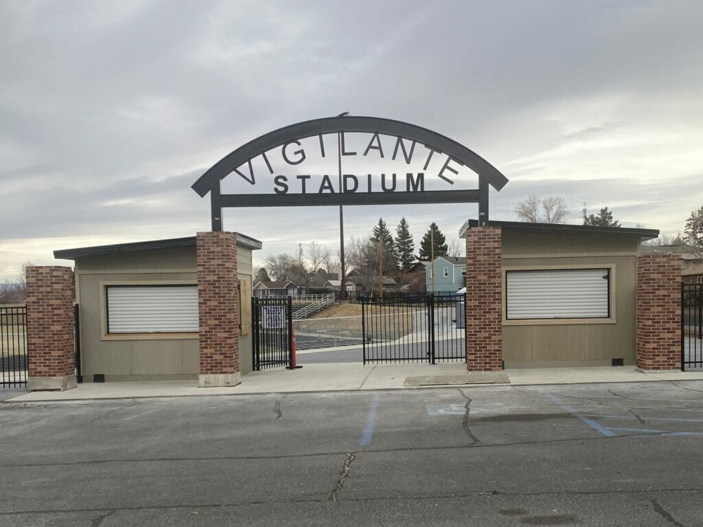
Client
City of Whitefish
Location
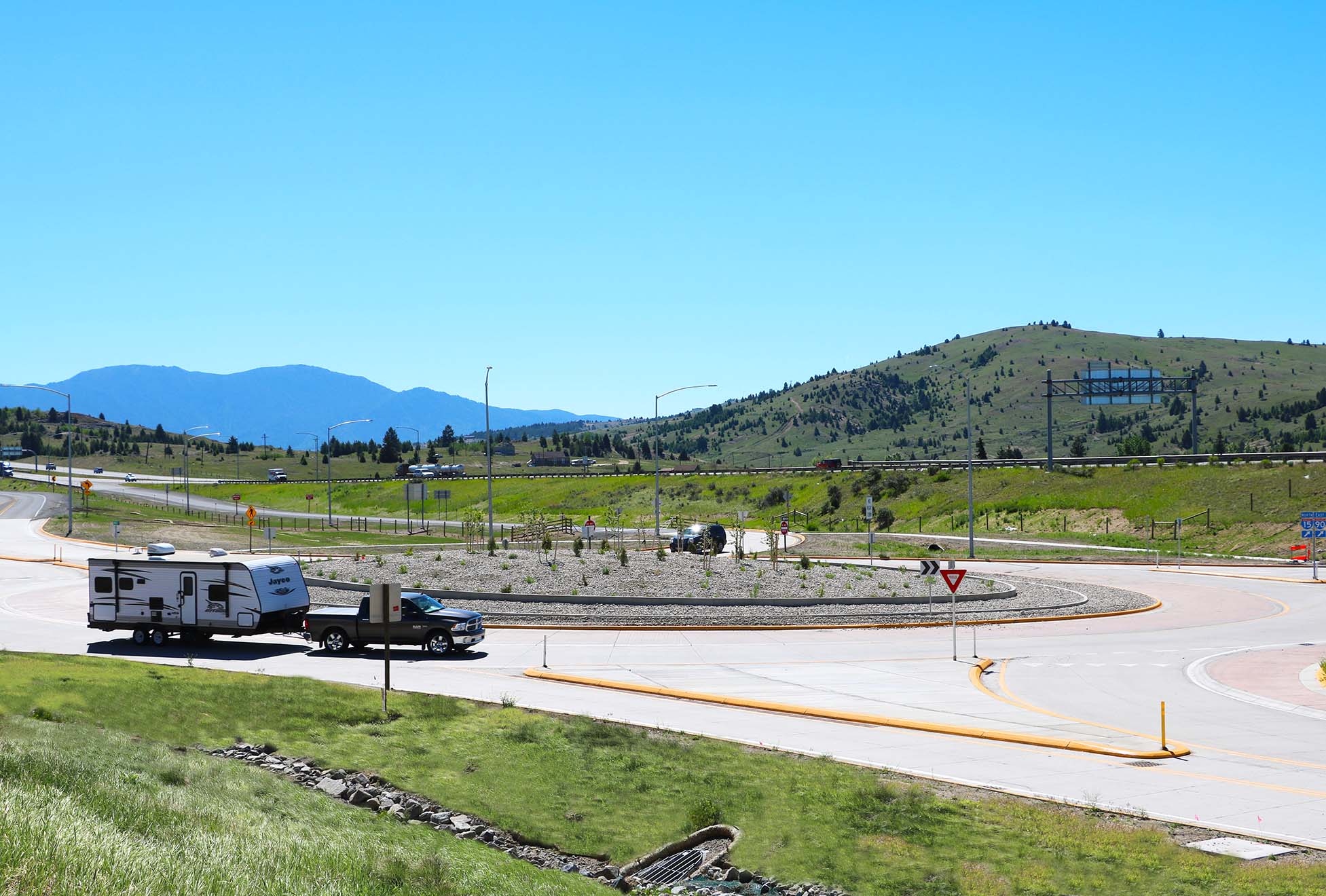
Whitefish, Montana
Public Outreach
Project Website